Some of the most important parts of a property are also the hardest to inspect clearly from ground level. Roofs, chimney stacks and gutters can contain visible defects that are difficult to assess from a distance.
Using high-resolution drone imagery, DPG can obtain a much closer visual view of difficult or unsafe-to-access areas without relying on ladders or scaffolding.
The imagery gives the surveyor additional information and can be incorporated into the wider survey findings where relevant.
Previously known as the Homebuyer Report, the Level 2 Survey is best suited to conventional properties built using standard materials and construction methods that appear to be in reasonable condition.
The aim is simple: to give you a clearer understanding of what you're buying and highlight issues you should be aware of before moving forward.
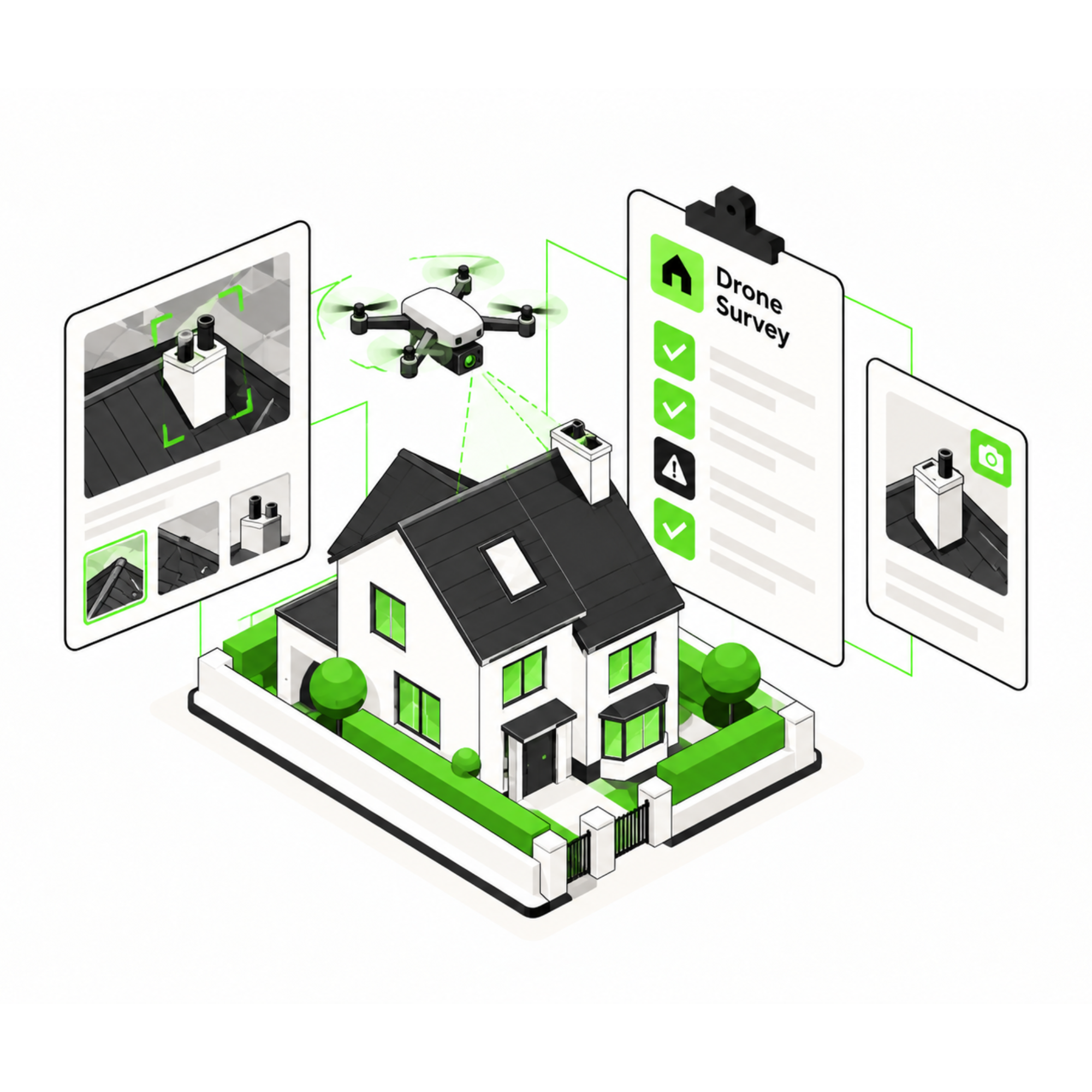
A better view can mean a better inspection.
A ground-level inspection naturally has limitations, particularly when roof coverings, chimneys or gutters are high, steep or partially obscured.
Drone imagery allows the surveyor to see these areas in greater detail without needing to physically access them.
This can provide useful additional evidence of visible defects and a clearer understanding of high-level areas of the property.
The important parts, clearly set out.
Steep or high roofs
Restricted access around the building
High-level areas needing a closer view
Turn uncertainty
into a clear next step.

Share the property details and any high-level areas you are particularly concerned about.

DPG considers whether drone inspection is appropriate and plans the high-level inspection.
High-resolution imagery is captured of the relevant roof, chimney or other difficult-to-access areas.

The surveyor reviews the imagery and includes relevant observations within your survey findings.
We offer a wide range of surveying services
To help you with your process, we have provided answers to some frequently asked questions. If you have any further questions, feel free to contact our friendly team.
Drone imagery is particularly useful for roofs, chimney stacks, gutters and other high-level areas that cannot be seen clearly from ground level.
No scaffolding is required for the drone imagery itself, which allows difficult high-level areas to be viewed remotely.
Where used alongside a wider survey, it typically adds around 30 minutes to the site visit.
Where relevant, the surveyor can incorporate observations and imagery from the drone inspection into the wider survey report.
It is particularly useful for steep, high or restricted-access roofs and other areas where the view from ground level is limited.
Yes. Drone imaging can be used alongside a wider property survey where it is appropriate and relevant to the inspection.
Wanstead Works
34-40 High Street, Wanstead, E11 2RJ
0208 087 1969
office@dpgsurveyors.co.uk